
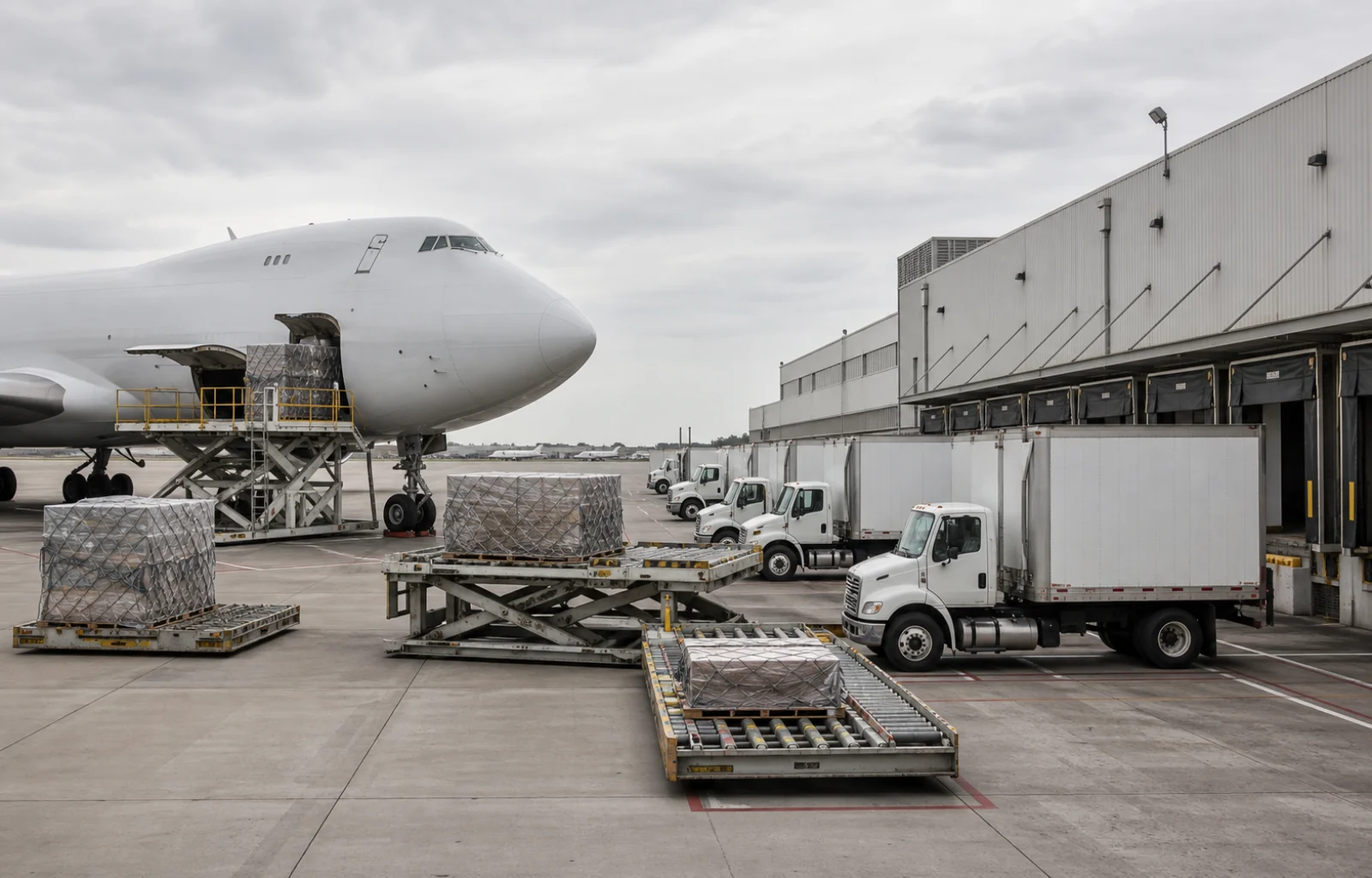

The federal freight map is moving closer to the truck dock. The Bureau of Transportation Statistics plans to verify air-to-truck, mail-transfer and related intermodal facilities at 113 major U.S. airports that together handled about 98% of U.S. air freight in 2024.
The proposed one-time collection would expand a dataset BTS built for the top 60 freight airports in 2018 and finalized in early 2019. That earlier version relied on airport websites, master plans, layout maps, satellite imagery and street-level mapping to estimate facility locations and compile physical and operating attributes.

Under the new approach, an industry expert at each airport would use a two-part web application. A survey would collect the current status and characteristics of intermodal air-to-truck facilities, and an interactive map would ask the respondent to approve or reject preliminary facility locations. BTS estimates 30 minutes for each of 113 responses, or 56.5 total burden hours.
The change follows a Government Accountability Office review of air-cargo data and ground operations. In a nongeneralizable sample, more than two-thirds of 37 stakeholders interviewed across 11 airports reported challenges involving warehouses, truck areas and roadways. GAO also concluded that DOT had not fully assessed or communicated limitations in some air-cargo data used for planning and incident response.

A verified location layer will not fix a narrow gate, create staging space or fund a warehouse. The August 20 notice is a request to collect information, not a construction program, operating directive or grant award. Comments are due October 19, and the updated information is intended for the public National Transportation Atlas Database after the collection is cleared and completed.
FreightNews infers that the national trucking value lies in making the ground side of air cargo more visible across networks, not in producing another airport list. Carriers, forwarders and public planners can make better comparisons only if locations and operational attributes are current enough to distinguish a usable truck handoff from a point placed near an airport boundary. That is the purpose implied by the proposal; BTS has not yet published the updated dataset.
Operators that use airport freight facilities can review docket RITA-2026-0001 with a practical question: which verified characteristics would help a driver, dispatcher or network planner understand access and connectivity without overstating what the map proves? The immediate opportunity is to improve the federal data record. Any decision about capacity, routing or investment still requires current facility-level confirmation.